By Pauline Stirling
I visited Tenerife in February. I had checked the average temperatures for February online and saw that January and February were supposed to be the coolest months of the year in the Canary Islands. So, I wasn’t expected it to be 25 degrees plus most days! Neither did I expect there to be such lovely trails for walking. These were my three favourites walks:
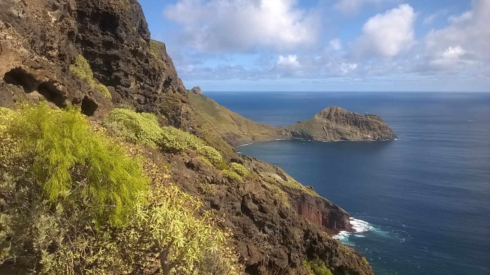
The village of Igueste de San Andrés is located in Anaga and has little more than 550 inhabitants. It is a lovely village built on a hillside. From the village, there is an interesting trail, which leads to the Semaphore of San Andrés. The trail starts from the Church of San Pedro in Igueste de San Andrés and it will take about an hour and a half to reach the Semaphore. It is not an easy walk, but the views are well worth it! The Semaphore used to work as a lighthouse to indicate the arrival of ships in the north of Tenerife. As you can imagine, it is a spot from where you can see many kilometres of coastline, from the Beach of Antequera to the coast of the capital, Santa Cruz de Tenerife. The Semaphore was used until the late 80s, from which time it fell into disrepair, leaving an abandoned structure. The view from the Semaphore is just beautiful!
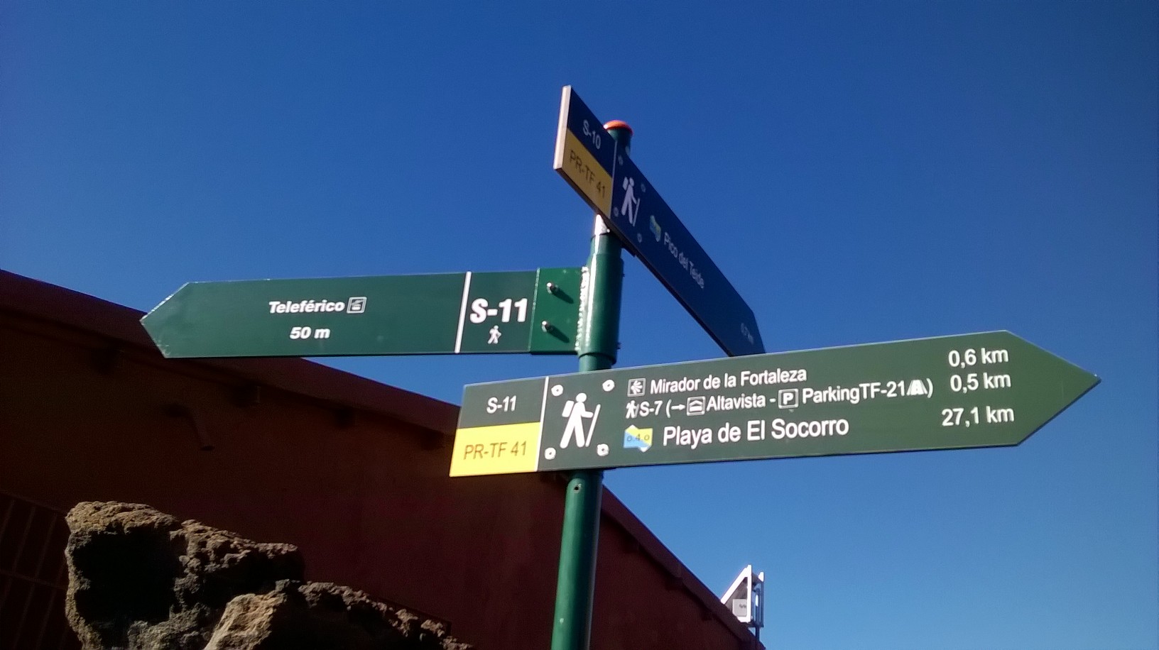
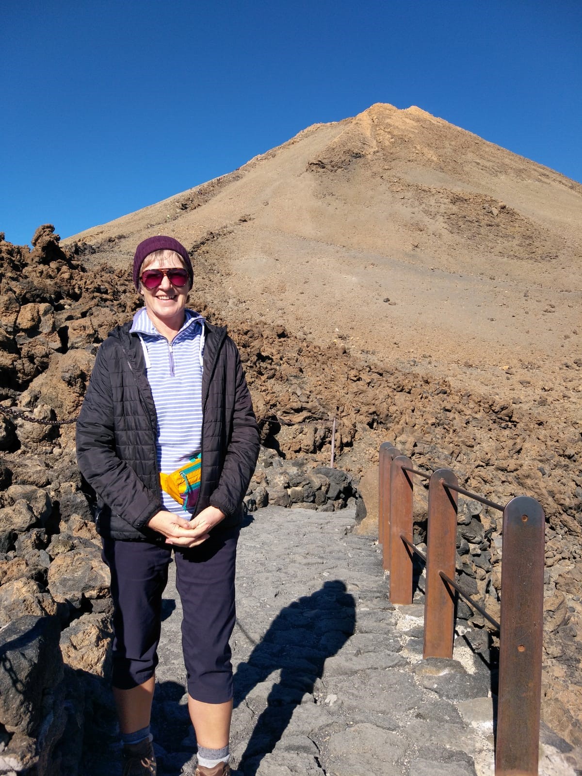
Mount Teide National Park offers an extensive network of walking trails. In fact, I would recommend at least a week on the National Park alone to attempt to explore what it has to offer, that is without visiting the rest of the beautiful island and without walking any of the trails in other areas of natural heritage! Mount Teide dominates the landscape, standing at 3,718 m above sea level. It is the highest peak in Spain. The entire Mount Teide National Park is a unique geological treasure in which the volcanoes, craters, vents, lava flows and different materials, form an impressive array of shapes and colours. It was declared a National Park in 1954 and in 1989 it was awarded the top category of the European Diploma of Protected Areas. In 2007, Teide National Park was declared a World Heritage Site by UNESCO.
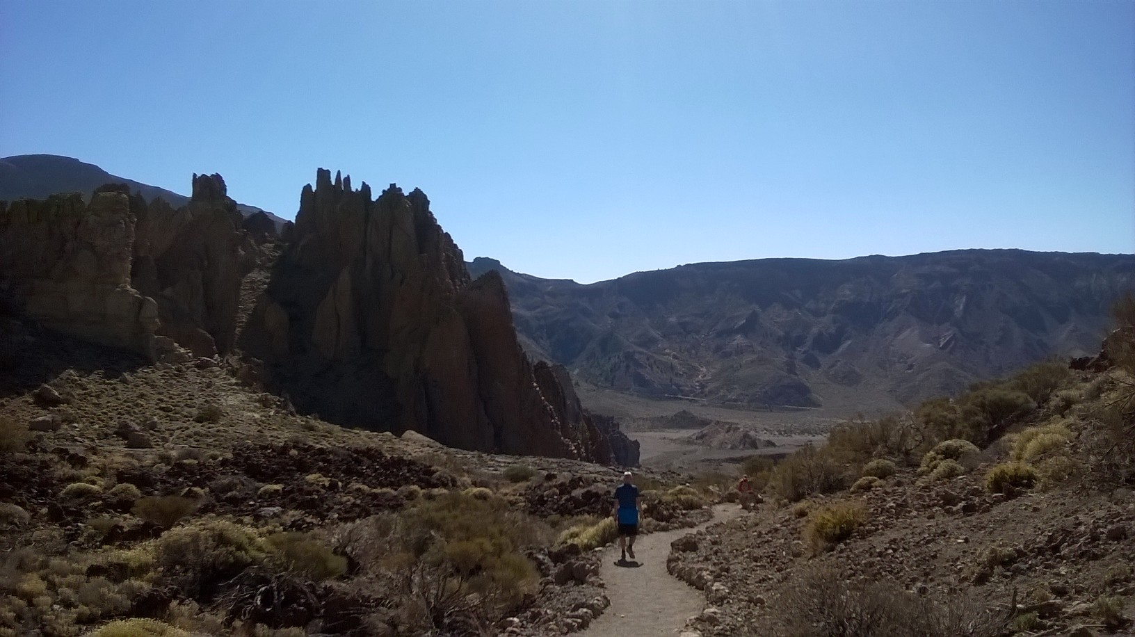
For me, the most enjoyable trail was the Roques de García circular trail. Starting and finishing at La Ruletta viewpoint, this easy trail takes about two hours. The trail borders around the Los Roques rock formations. The path is completely flat to start with (in fact, it is very accessible for the first stretch) before it heads down to the plain known as Llano de Ucanca, which was created by sedimentary rock. As you descend and before you reach the plain, you will see an amazing tongue of lava known as La Cascada (The Waterfall). After walking across a short stretch of the plain, where natural volcanic walls formed by dense lava rise to the left, you will begin to climb up towards where you started. Before you get there, you will see a spectacular jaggy rock known as La Catedral (The Cathedral). This striking rock formation is in fact a volcanic phonolite chimney: an outlet through which lava once flowed, solidified and never made it to the surface, which is now exposed after years of erosion. The plantlife you will see on this walk is varied and interesting. It is cooler on the National Park than in the coastal areas so I would advise suitable clothing. It would also be sensible to check the weather before venturing out!
We stayed in Puertito de Güímar, also called El Puertito, which is located on the east coast, a little more than 20 km south-west of Tenerife’s capital, Santa Cruz. It is a lovely little port which is very popular with locals and visitors, as it has a number of cafés and restaurants and sheltered beaches. Whilst staying in El Puertito, I visited the Malpaís de Güímar many times. Each time I walked a different trail starting and finishing in the port area of Puertito de Güímar. The longest trail was just over 6km long and took just under 3 hours. The trails are well-signposted. The paths are easy to follow and are mostly flat, with one following along the coastline.
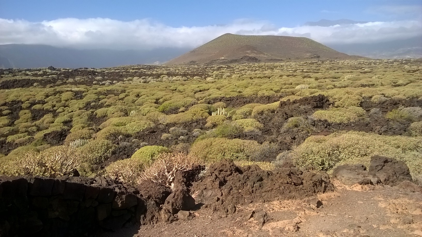
The Malpaís de Güímar is a special nature reserve of great ecological significance that was declared a protected area in 1987. This is a unique volcanic landscape that spans all the way from Montaña Grande to the coast. The region’s mild climate makes it a wonderful habitat for a great many endemic species. Cardons and tabaibas thrive there. Nearer the coast, you will find sea fennel and the local species of sea lavender, while the sandy areas are populated by spiny broom bushes and Canarian clovers, with over 60 species of lichens dotted all over the Malpaís landscape.
All across the inland area of El Malpáis are a series of volcanic tubes and caves. The most spectacular ones are the caves of Cueva Honda and Cueva de los Burros, with some stretches measuring as long as 100 m (330 ft) and as tall as 5 m (16 ft). The best way to discover this landscape is to explore its trails and stop at its many lookout points, where tongues of lava, cardons and tabaibas dominate the scenery.
These was just three of the many walking experiences I had on the island of Tenerife. I’d recommend a visit!