Advice On Climbing The Highest Mountains In The UK
Climbing any mountain can be a great physical and mental challenge to conquer. That’s why we’ve put together all the information you need to make your climb up some of the highest mountains in the UK – offering hiking advice and pearls of wisdom. Find out which routes are the best for your capability levels as well as some hidden gems of culture and history that you’ll find along the way.
Climbing Snowdon: The Highest Mountain In Wales
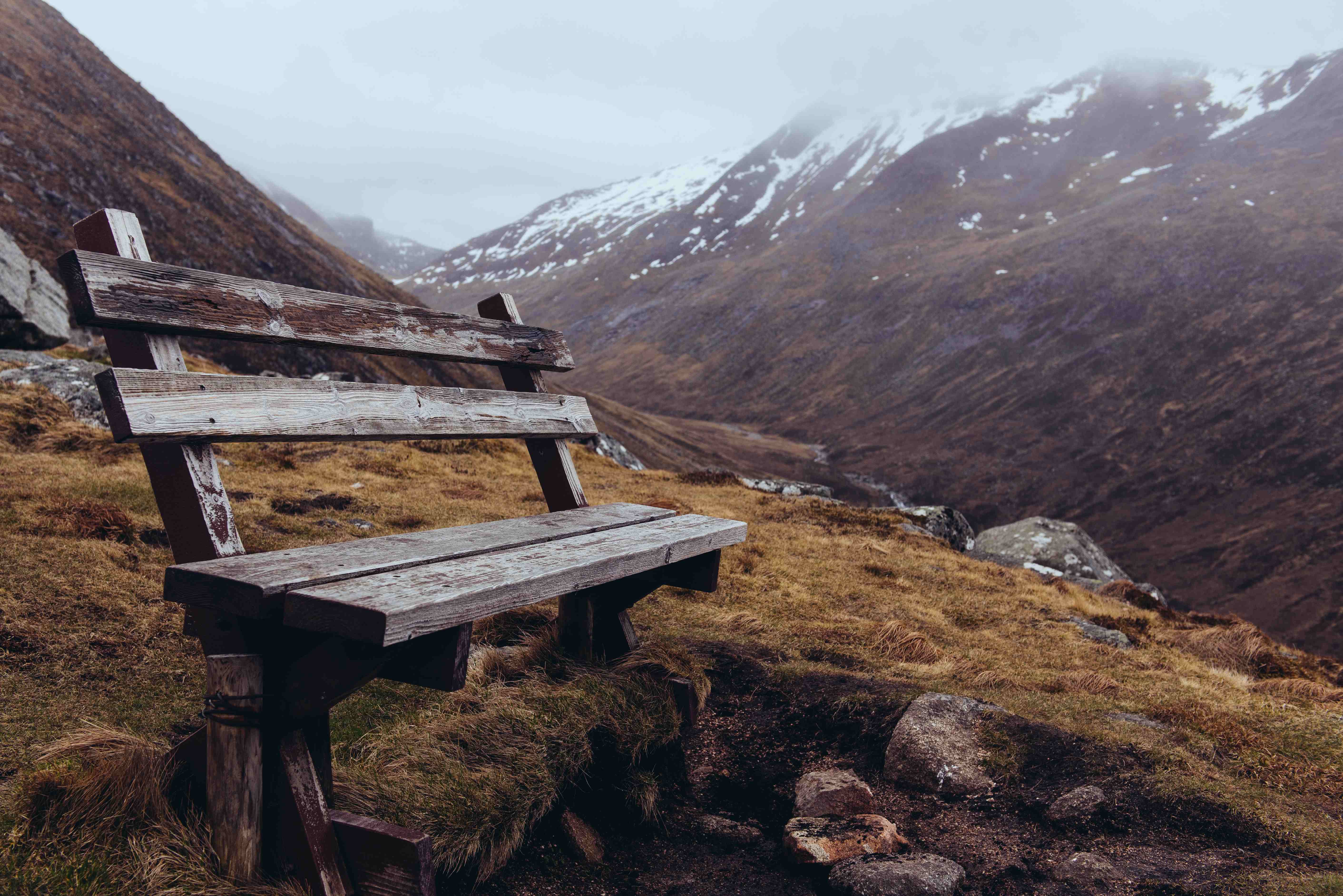
Located in the National Park of Wales, you’ll find Mount Snowdon. You can’t miss it. With it being 1085 metres high and 1005 metres above sea level, it’s no wonder that it’s part of the National Three Peaks Challenge. Climbing Snowdon offers hikers beautiful, natural scenery, and there are hidden gems of Welsh history scattered from the bottom right up to the peak. Here’s our hiking advice for finding those gems and which routes are best to take.
Snowdon Mountain Climbing For Beginners
Llamberis path
• 9 miles long
• 3 hours to reach the summit
One of Snowdon’s easier routes is the Llamberis path. A gradual incline that provides boundless natural beauty in mild weather. In fact, it may even be worth wearing some sun protective clothing in the height of summer. As one of the most popular routes to take on Snowdon, expect to share your path with other tourists – it can get a little busy out there – so if you’re after some peace and quiet, explore one of the other lesser-known routes to steer away from the crowds.
As you hike, keep a look out for a rare flower named The Snowdon Lily. There’s only a few of these hidden beauties left worldwide, all of which can be found in Snowdonia. The survival of one of Britain’s rarest plants is hampered by climate change so much so that conservationists have suggested introducing the Snowdon lily to parts of Scotland to encourage growth.
Intermediate Routes For Climbing Snowdon
Watkin path
• 8 miles long
• 6-7 hours to reach the summit
Looking for more of a challenge? The Watkin path is one of Snowdon’s notoriously challenging routes. This route begins near sea level, making it much steeper and more arduous than other routes.
If you decide to take this route, the first half starts slow, helping you to ease into the hike. You’ll reach the Afon Cwm Llan waterfall along your way, which has its own assigned walk as well (excellent for a spot of lunch or a little further exploration). Once you’ve had your fill of the waterfalls, things start to get a little tougher. On your ascent, you will come across the ruin of Plas Cwm Llan, the former home of the Snowdon quarry manager of the South Wyddfa, where World War II Commandos often used the dilapidated residence for target practice.
Shortly after you pass these historical ruins, you’ll come across the ancient Gladstone Rock, where William Ewart Gladstone addressed the people of Eryri. As you continue you’ll be rewarded with breathtaking views of Ardudwy and the Afon Glaslyn estuary. Then, when you finally reach the top of Snowdon, you can see up to 18 lakes and 14 summits on a clear day.
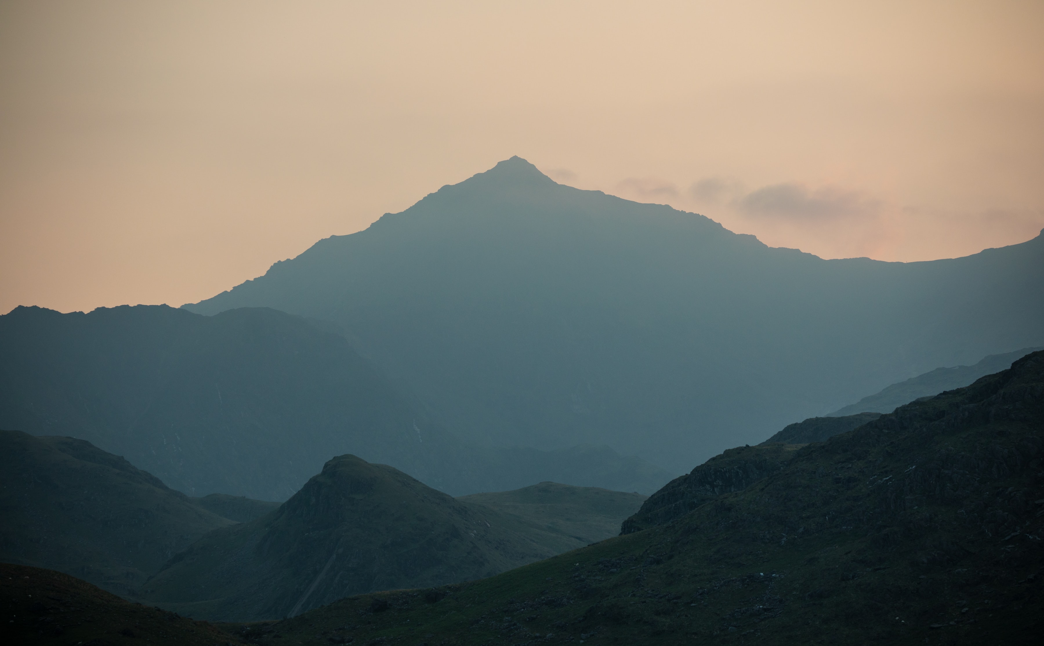
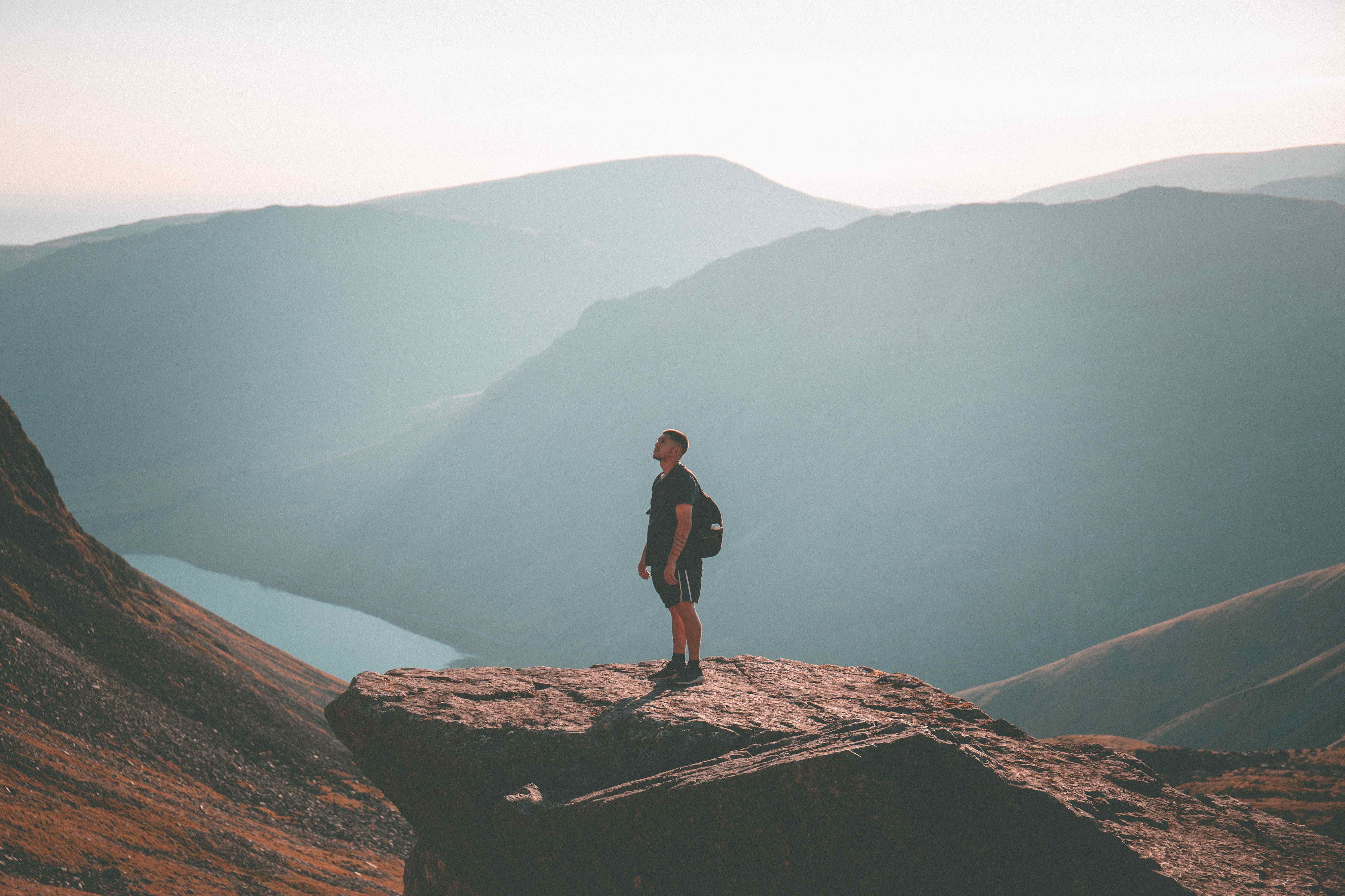
Climbing Ben Nevis: The Highest Mountain In British Isles
Situated in Lochaber in the Scottish Highlands, Ben Nevis stands at an astonishing 1345 metres tall. Its Gaelic name is ‘Beinn Nibheis’, which means venomous mountain. It’s a difficult challenge that rewards those who dare to push themselves a little further.
Easier Routes for Climbing Ben Nevis
Pony track
• 10.5 miles long
• 7-9 hours to the summit
The ‘Mountain Track’, ‘Tourist Trail’ or ‘Pony Track’ are all popular names for the easier route to the top of the highest mountain in the British Isles, Ben Nevis. Start at the Glen Nevis Mountain Centre, But be warned: it may be one of the least challenging routes, but climbing Ben Nevis at any level is not an easy feat.
Advanced Paths For Climbing Ben Nevis
Carn Mor Dearg Arete
• 11 miles long
• 10-12 hours to the summit
For a greater challenge, discover Ben Nevis via the Carn Mor Dearg Arete. The challenging climb is worth the astonishing views along the way. Your route will begin near Torlundy and, after a muddy and wet start, it’s worth pausing to absorb the miles of breathtaking views of Caol, Corpach, Lochs Linhe and Eil. It’s also probably worth investing in some waterproof walking trousers before you head out – especially if the weather takes a turn.
Later, as you’re climbing the slopes towards the very peak, you will come across Carn Mor Dearg Arete. This is a very small, loose rocky area with some unsteady boulders that leads to Carn Mor Dearg, the eighth highest mountain in Scotland. And soon enough, you’ll reach the peak of Ben Nevis.
On your descent, you’ll encounter the valley of Red Burn, but avoid the eroded parts ahead of you; which are potentially loose underfoot and may be unsafe. When you reach the bottom, opportunities to celebrate are not hard to find. The Ben Nevis Inn is right where you started or try the Grog and Gruel pub in the local town, Fort William.
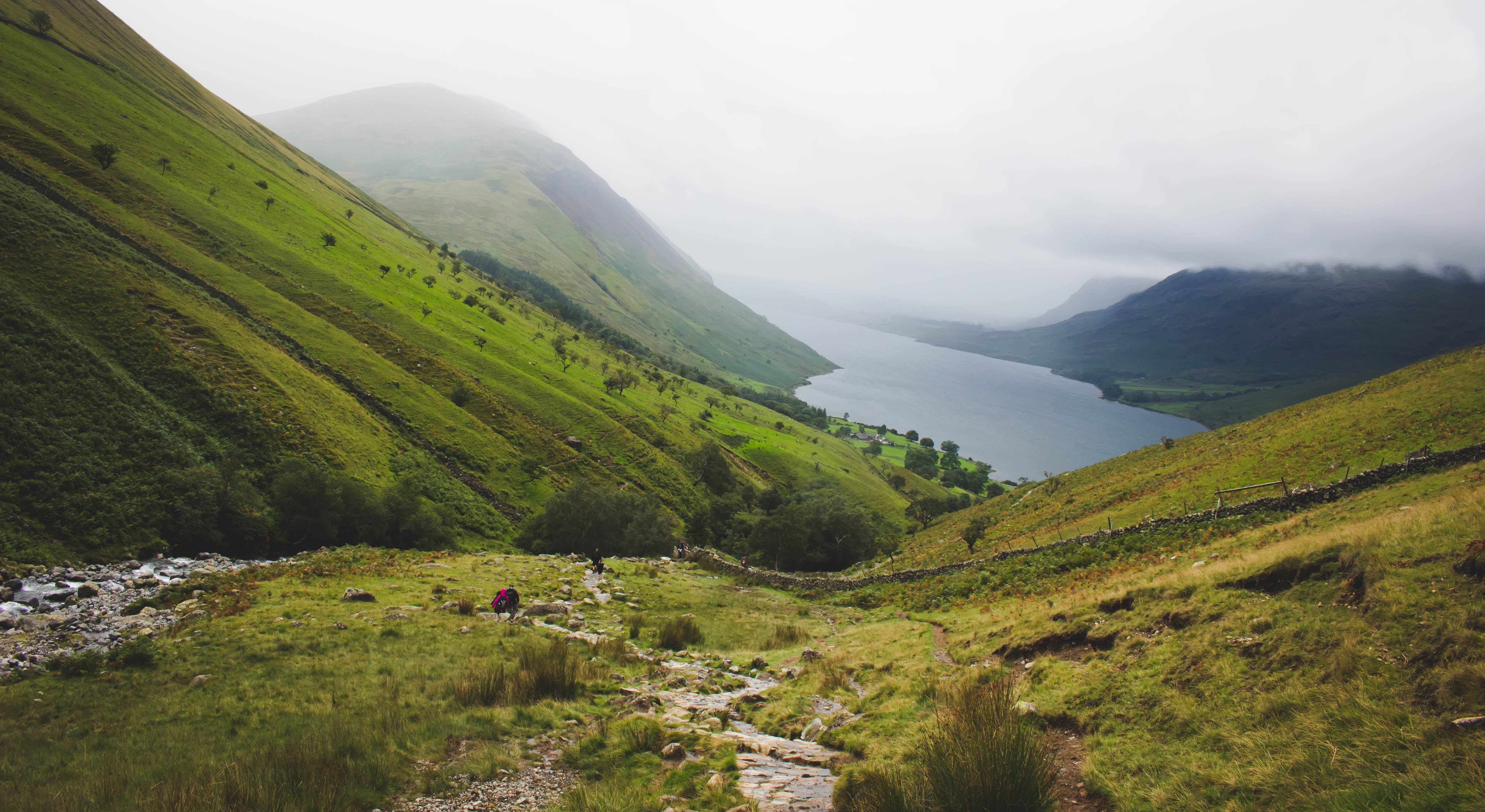
Climbing Scafell Pike: The Highest Mountain In England
Scafell Pike comes last, but certainly not least – being 978 metres, 912 above sea level. It’s the highest peak in England, located in the Lake District National Park. All of Scafell Pike’s routes are unmarked, but all will reward you with beautiful scenery.
Beginner-Friendly Routes for Climbing Scafell Pike
Corridor route
• 7 miles long
• 5-6 hours to the summit
The Corridor route is one of the best routes for beginners at Scafell Pike. Starting from Wasdale Head village, this route is more family friendly with a slightly gentler ascent. But even for experienced hikers this route is quite a challenge in places. As a beginner, you may want to try using walking poles for additional support as you make the climb.
On your ascent, you’ll come across a slight decline when you cross Skew Gill, where there is red stained rock. Then, you’ll face the well-known ‘Rocky Step’, which is exactly how it sounds; a very rocky and pebbly small descent.
Climbing Scafell Pike For Expert climbers
Seathwaite route
• 9.5 miles long
• 6-7 hours to the summit
For the climbing experts, the Seathwaite route is one of the hardest, taking approximately 6 hours and stretching almost 9.5 miles. You’ll be greeted with incredible views from Great End and Broad Crag. Once you reach the peak of Scafell Pike, a striking panorama over Lakelands fells will lie in front of you.
On clear days, you might be able to see the Isle of Man to the West. And once you reach the bottom, reap the rewards in Seathwaite’s cafés, pubs and restaurants, including the Newfield Inn pub.
Whichever of the highest mountains in the UK you decide to climb, there are routes for hikers of all abilities. Each has its own hidden treasures for you to enjoy along the way. For all your climbs, make sure you’re equipped with the right outdoor clothing.