How to read a map and use a compass
The long lost art of map reading. It’s a valuable outdoor skill that many people now disregard, but one that (in a survival scenario) may just save your life!
We’re not suggesting that you take off on a crazy, off-grid adventure with no way of communicating with the outside world. Nevertheless, learning how to read a map could help you find your way back to camp on your next hiking trip, especially when your smartphone battery fails.
So let’s get back to basics. Here’s how to read a map, and how to use a compass – sound advice when you want to get outdoors and explore without relying on tech to get you from A to B.
How to read a map
Before you head out and about, you need to make sure you know the basics of how to read a map. At first glance, the different colours and symbols might give you a headache, but it’s quite easy once you know what they all mean. By far the most popular maps used in Britain are OS maps – so if you’re using them, it’s important to be able to read them. If you can understand three key features, you can master basic map reading.
• Scales
The two most popular types of map are differentiated by their scale. Orange Explorer OS maps have a 1:25,000 scale – so every 4cm shown on a map represents 1km on the ground. Planning on going walking, running, mountain biking or horse riding? These are the ideal maps for you, as they detail footpaths and open access areas.
Pink Landranger maps have a 1:50,000 scale – meaning every 2cm shown on the map represents 1km on the ground. Covering more ground? These maps are perfect for you if you’re cycling, driving or heading off on holiday.
• Symbols
Need somewhere to park the car? Want to explore a wooded area?
Knowing how to read a map can help you pinpoint these areas and plan your trip in more detail. Using the map’s symbols can help you find key points of interest as well as useful pit-stops, such as campsites. This will help you to plan out your trip, figure out how often you can stop if you’re on a hike, and where the closest footpaths and cycle trails are to your campsite. All OS maps feature an array of symbols that will help you plan out your trip – from specific woodland symbols that tell you if the trees in the area are coniferous or non-coniferous, to symbols that point out an English Heritage area. A full list of symbols is available with every OS map.
• Grid references
Want to know how to read co-ordinates? You can do this by looking at grid references. This is one of the most important map reading skills, because you can pinpoint any specific location on a map. All OS maps have numbers running along the bottom and the sides – these represent the blue squares or grid lines on the map. On Explorer maps, these gridlines are 4cm apart, and on Landranger maps they are 2cm apart. This means that all the squares on a map cover an area of 1km2.
To identify any given location on a map, like with all co-ordinates, you read the number at the bottom, looking at the number at the bottom left of your chosen square. When you have identified this, look at the numbers running along the side to see which number goes with your chosen square. You’ve now identified the square your chosen location is in. Since you have two numbers, you can combine them, and this will give you a 4 figure grid reference. An example of a 4-figure grid reference is 5420.
Want to find more specific locations? You can pinpoint any object’s location. If, for example, you wanted the grid reference of a carpark, identify what square it is in (get your 4-figure grid reference). Then, work out how many tenths along and up the car park is in the square. If the car park is 7 tenths along the bottom and 4 tenths up, the grid reference would be 547204. This is called a 6-figure grid reference. With this, you are able to pinpoint any location on a map.
How to use a compass
One of the most essential tools for navigation? It’s got to be a compass. Compasses will make sure you’re heading in the right direction on your latest adventure.
Features of a compass
• Base plate – this has rulers and scales, and the compass is mounted to it. Line this up to your map to work out how to navigate to your chosen location.
• Compass housing – protects the compass needle. There is a 360° rotating wheel that you can turn when identifying your direction of travel.
• Compass needle – points to magnetic north and shows you which way you’re facing.
• Orienteering lines – helpful for aligning your compass and map’s grid lines.
• Orienting arrow – align the compass arrow to this arrow when working out your location.
• Index line – fixed black line used when taking your bearings.
• Direction of travel arrow – the direction you are travelling.
• Compass scales – help you accurately measure distances and work out 6-figure grid references.
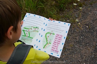
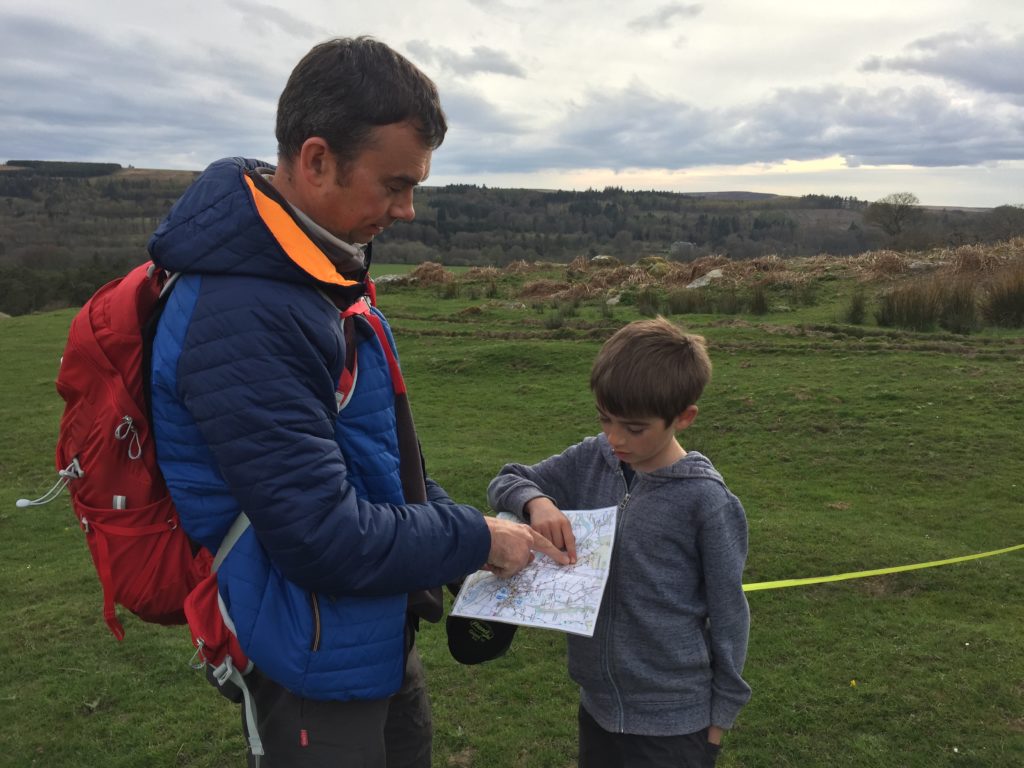
Map reading for kids
Looking to get the kids involved too? Get them away from their screens and out in the great outdoors, learning new skills and discovering a path less travelled. Make map reading for kids fun (and a little competitive too) with a treasure hunt element involved and a mystery prize at the end of their route. Still not convinced you can tear them away from their smartphones? Here are a few more ideas that will get the kids outside and keen to get to the end of the trail. (You can’t always trust the Great British weather, so don’t forget to pack the kids’ waterproofs.)
Map reading games and activities
Make a treasure map
Start your kids off with the concept of map reading by creating your own treasure map. Buy some prizes and hide the treasure and make your own map that will lead them to their mystery prize. It’s surprising how quickly kids learn to relate what’s on paper to what’s around them, which is what map reading is all about.
Orienteering
Orienteering is a great way to teach kids basic map reading skills. It involves using your navigation skills to travel between different points on a map called control points.
An excellent introduction to orienteering is to find a permanent course; you can find orienteering maps online that you can print out and take with you. It’s a lovely way to spend an afternoon with the entire family, and help the children learn a few skills along the way.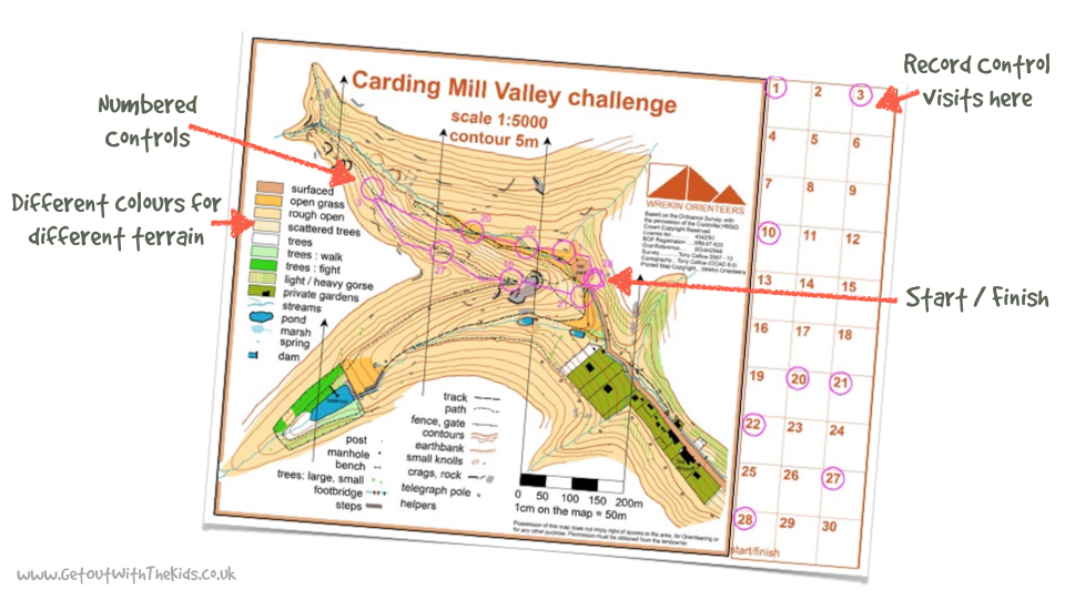
Making Tracks
Making Tracks is a collection of children’s walking books for popular regions around the UK. It’s a fun activity walking pack created especially for children. The maps are put together in a child-friendly way, pointing out landmarks to make it simple for them to navigate to the end of the trail.
Learning how to read a map opens up so many doors for you and your family, allowing you to explore parts of the country you may not have thought about exploring before. From simple hand-drawn maps to professionally produced OS maps, and even the latest in map app technology, there is so much to learn and so many ways to help you get from A to B. Whether you’re exploring well-trodden tracks, or discovering somewhere for the first time, having a handy map will help you get the most out of your next adventure.
Take your new found map reading skills with you the next time you go on an adventure – they will open up so many different opportunities for you.